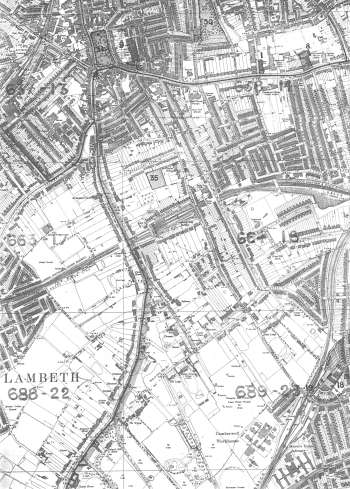
Map of Camberwell, Lewisham, 1894
This map shows many aspects of urban and suburban development along Camberwell Grove and Grove Lane and, on a bigger scale, the huge detached houses on Denmark Hill and Champion Hill.
On the eastern fringe terraces can be seen over-spilling from Peckham and East Dulwich.
Much of the southern portion is free from development due to the Dulwich Estate's reluctance to allow building.
Click on the map for an enlarged image or click here for a larger, readable image (slower download).
Stanford Ordnance Survey Map, 1894.


