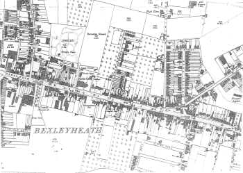
Map of Bexleyheath, 1897
This map shows the development of Bexleyheath in the Edwardian and inter-war periods.
New houses were erected south of the Broadway on Oaklands Road, Highland Road and Albion Road.
A new feature, the Clock Tower, has appeared in the Market Place, commemorating the coronation of King George V.
1:2500 OS map, published by the Ordnance Survey Office, Southampton, 1897.


