King Harold's Way, Bostall, 1931
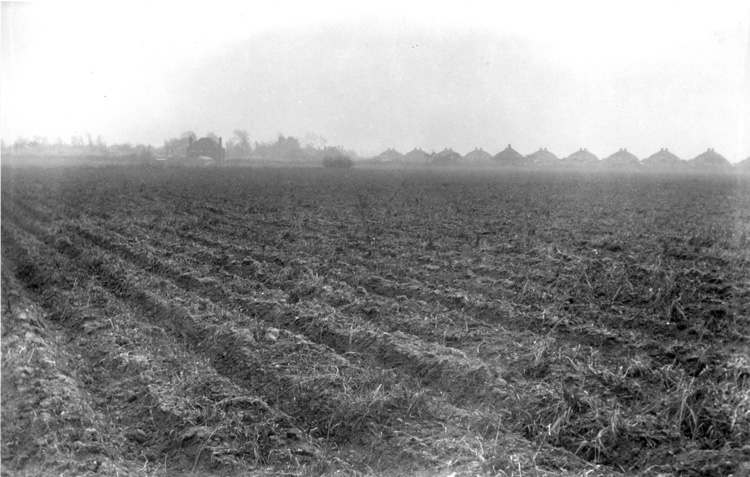
Before the development of the Welling/Bexley plateau in the 1930s, the land was put to a number of uses.
Parts were ancient woodlands, parts commons and parks, and other parts, as shown here, used for growing crops.
These fields were soon to be developed by the builder Absalom into the St Hilary Estate, which had King Harolds Way at its centre.

