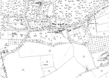
Bostall 1897
This map shows Bostall prior to its development as a suburb, the area entirely given over to agriculture.
A few large houses can be seen at West Heath on the fringes of Abbey Wood and along the Woolwich Road to the north.
1:2500 OS map, published by the Ordnance Survey Office, Southampton, 1897.


