Bostall 1933
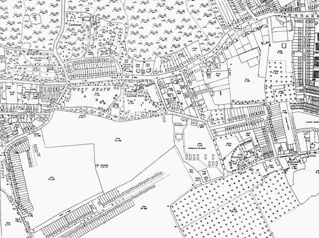
This map shows the first developments that were to transform Bostall into a suburb.
Houses have been built down the length of West Heath Road. Two new streets, Abbott's Walk and what would become Canberra Road are being laid out.
By 1937 the whole area south of the Woolwich Road was given over to residential properties.
1:2500 OS map, published by the Ordnance Survey Office, Southampton, 1933.


