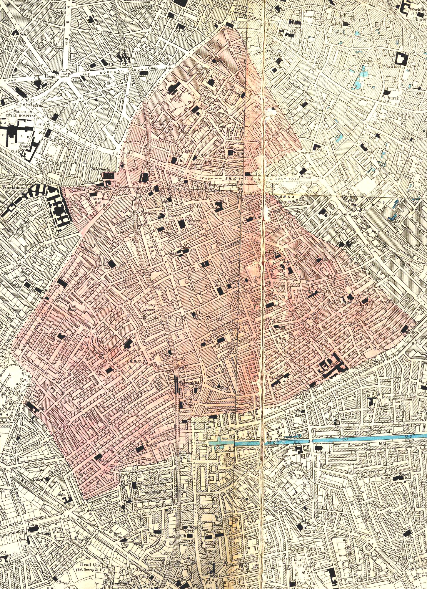
Map of Walworth, Lewisham, c. 1894
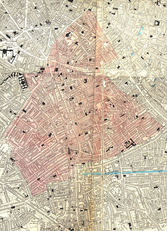
This map shows Walworth's mature Victorian landscape, densely urban without a scrap of open space.
The largest institutions are workhouses (Newington on Westmoreland Road, Lambeth at Brook Street and Bermondsey in Tanner Street), but schools, churches and chapels also feature prominently.
Click on the map above for an enlarged image or click here for a larger, readable image (slow download).
Ordnance Survey, London Sheet VII SE, Middlesex Sheet XVII SE. Surveyed between 1893 and 1894, printed c.1894


