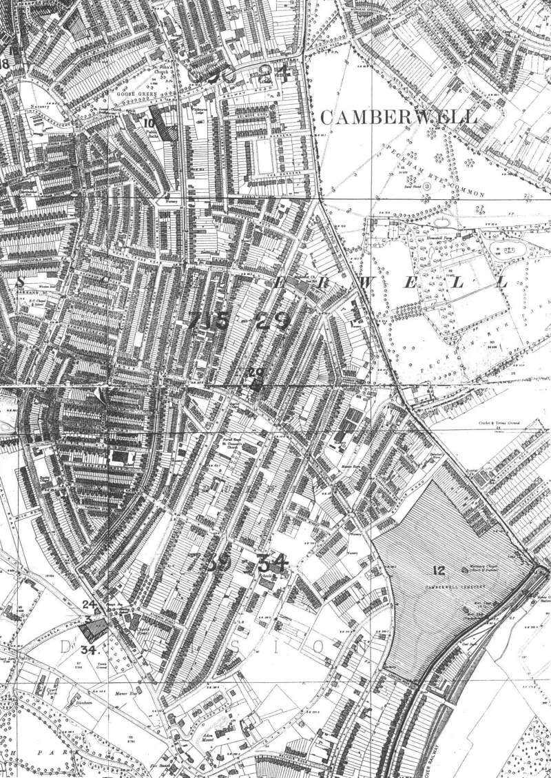
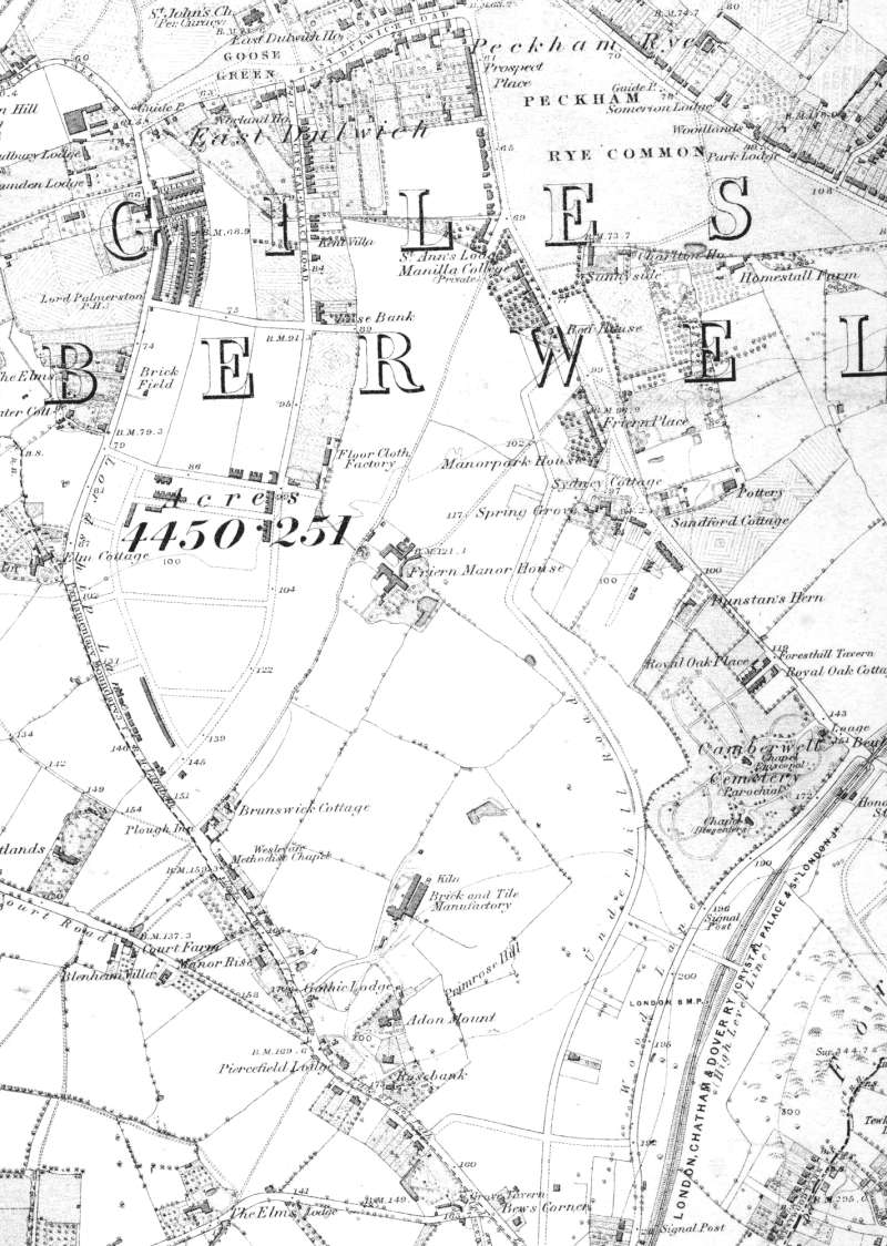
Map of East Dulwich, Lewisham, 1894

This map shows East Dulwich on the cusp of its rapid transition from country to suburb.
Friern Manor Farm House and a scattering of agricultural cottages are still there while the framework of new roads on Bowyer-Smith estate have been laid out and terraces of houses have started to appear.
In the south eastern corner is the recently built Crystal Palace High Level Railway and next to it Camberwell (old) Cemetery.
Click on the map above for an enlarged image or click here for a larger, readable image (slow download).
Ordnance Survey, surveyed 1863 - 1870 and printed in 1891.


