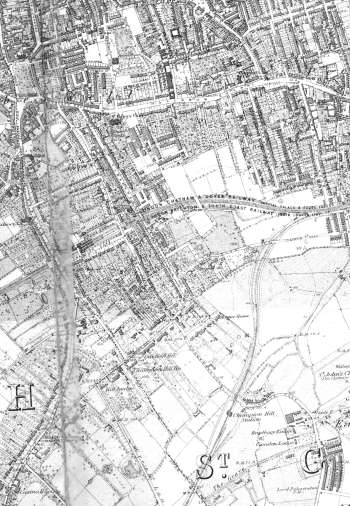
Map of Camberwell, Lewisham, 1891
The most striking feature of this map is the gardens: the detail in which they are shown and their size.
The more exclusive development along Camberwell Grove, Grove Lane, Champion Hill and Denmark Hill are more or less complete, while much of the eastern portion shows open fields awaiting development.
Click on the map for an enlarged image or click here for a larger, readable image (slower download).
Ordnance Survey, surveyed 1863 - 1870 and printed in 1891.


