Earl's Sluice, Rotherhithe, Southwark, c.1800
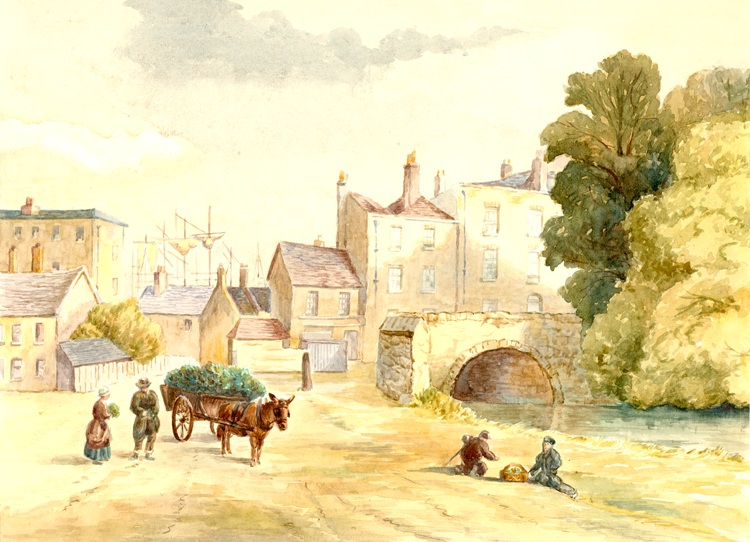
This watercolour, though painted in modern times, is taken from an early print.
The Earl's Sluice was a culverted natural stream that drained north Camberwell and Rotherhithe.
It served as a parish boundary between Camberwell and Bermondsey and, further along its course, between Rotherhithe and Deptford. It was also the county boundary between Kent and Surrey.
Out of sight to the left was Greenland Dock and to the right Deptford's Royal Naval Dockyard.
The land in front of many of the houses would have been used for ship building, repair or breaking.

