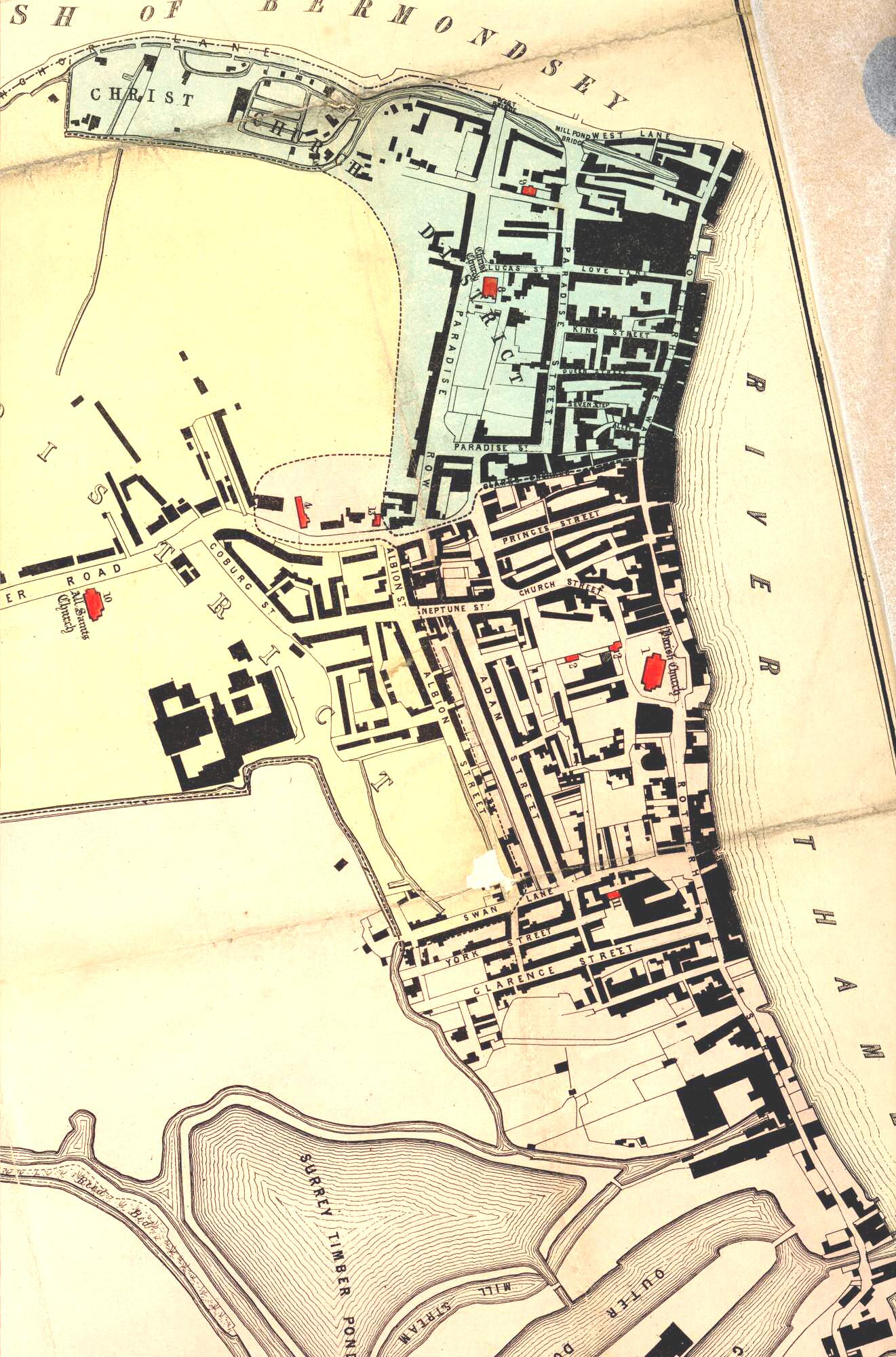
Map of Rotherhithe, Lewisham, 1848

This map shows Rotherhithe in the process of development.
Many streets have been built and the riverfront is almost fully lined by wharves and warehouses, and docks by the Timber Pond.
Print of the 'Plan of the Parish of St Mary Rotherhithe, Ecclesiastically Divided, 1848
Click on the map above for an enlarged image or click here for a larger, readable image (slow download).


