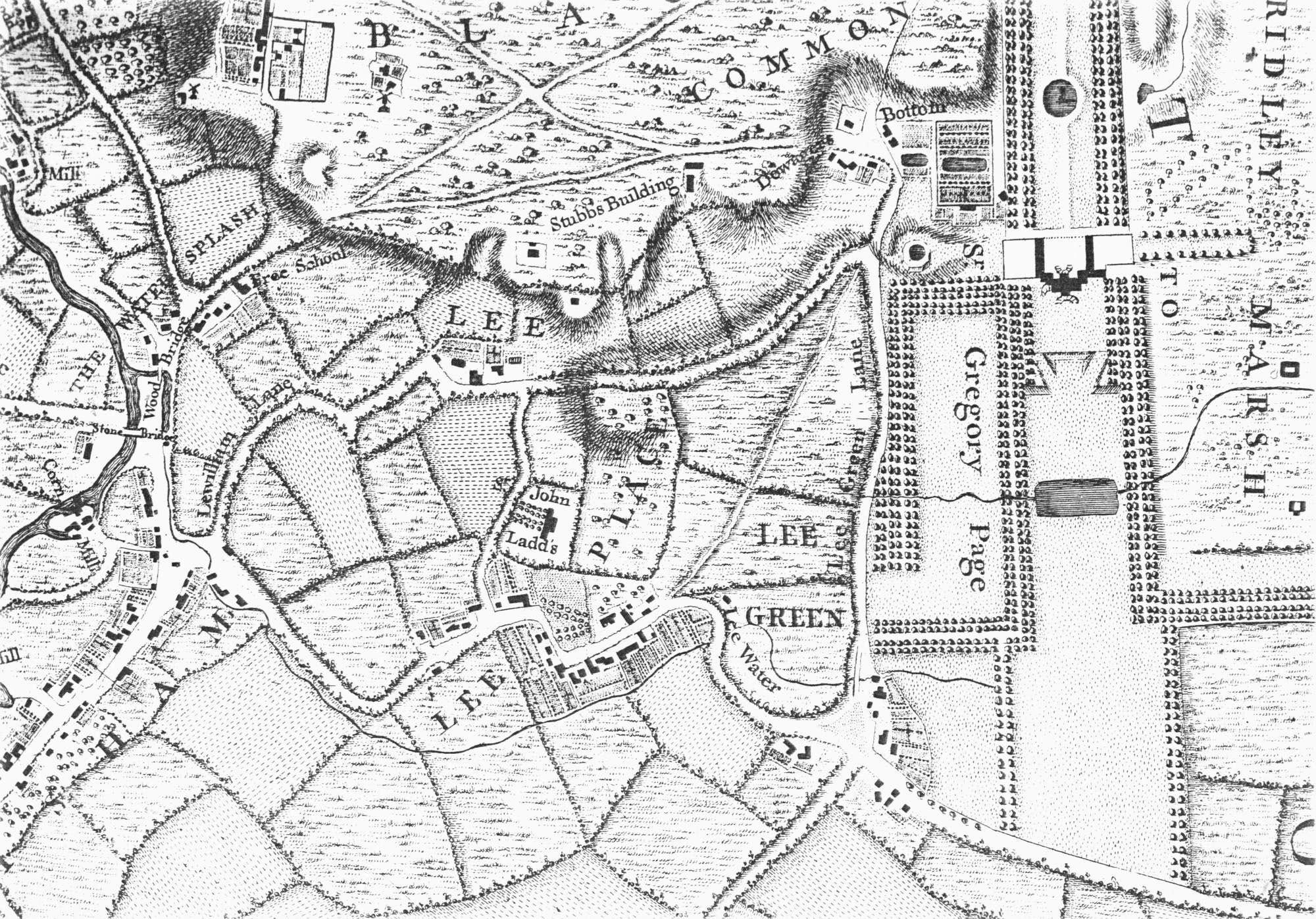
Map of Lee, Lewisham, c. 1745
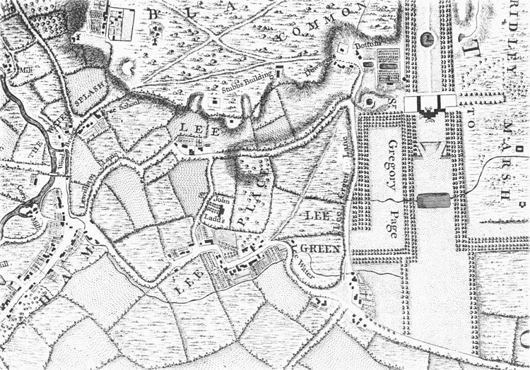
The ancient parish of Lee was long and
narrow, running south to the Bromley
boundary at Grove Park, but nearly all the inhabitants lived in the northern quarter.
There the houses fell into three
groups, around St Margaret's Church on Belmont
Hill, along the winding High Road from Lewisham
to Lee Green, especially in what is now the Old Road area, and at Lee Green itself.
Sir John Lade's house was one of the many country villas that were the main
feature of Lee until the 19th century.
Click on the map for an enlarged image or click here for a larger, readable image (slower download).
John Rocque 1741 - 1745.


