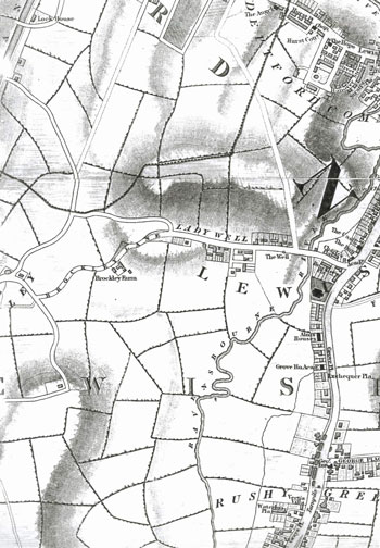
Map of Ladywell, Lewisham, 1833
Ladywell began late in the 18th century as a
squatter village. Poor parishioners were
allowed by the manor court to build cottages on the wasteland adjoining Brockley Lane.
Most of the buildings seen here in 1833 arose in that way. The well, associated with St Mary's Church, that gave the settlement its name is shown on the south side of the road, close to the present site of Ladywell Station.
Click on the map for an enlarged image or click here for a larger, readable image (slower download).
George Cruchley, New Plan of London 1833.


