Ideal Homes:

A history of South-East London suburbs

Bexley  | Bromley  | Greenwich  | Lambeth  | Lewisham  | Southwark  | Galleries A-Z  | Articles A-Z  | Resources
Bromley   >   Bickley   >   Bickley 1862

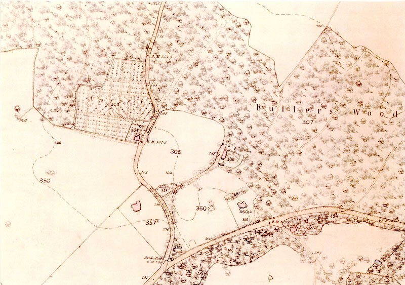
Map of Bickley, 1862

map-01427-350
1:2500 Kent VIII:13, 1862.

Back to Bickley maps >>

Read more about Bickley

  • A history of Bickley
  • A history of The London Borough of Bromley

See images of Bickley

  • Park View, 47 Sundridge Avenue, Bickley, 1964
    Park View 1964
  • Stotfold, Mavelstone Road, Bickley, 1983
    Stotfold 1983
  • County School for Girls, Nightingale Lane, Bickley, 1983
    County School for Girls 1983
  • Claremont Road, Bickley, 1988
    Claremont Road 1988
  • London Borough of Bexley website
  • London Borough of Bromley website
  • Royal Borough of Greenwich website
  • London Borough of Lambeth website
  • London Borough of Lewisham website
  • London Borough of Southwark website
  • University of Greenwich website