Map of Bexley Village, 1933
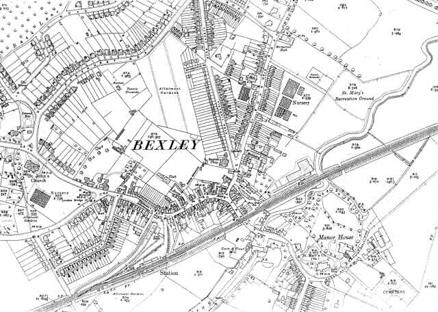
This map shows the rapid development of (Old) Bexley during the inter-war years.
Additional housing can be seen along Bourne road, Victoria Road and Albert Road.
A new residential estate has taken shape in the vicinity of the Manor House.
1:2500 OS map, published by the Ordnance Survey Office, Southampton, 1933.


