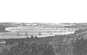
A View of Erith and Long Reach, 1795
An original view of Erith and Long Reach from the Thames, showing ships at anchor at Erith.
The town is on the far right and St. John's Church on the far left.
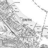
In the early years of the 19th century the population of Erith was less than 2,000 and the town was centred tightly around the High Street.
The parish church of St John stood a half-mile distant from the town centre along West Street.
Photograph of a print from 1795.


