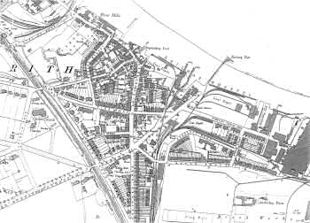
Erith 1897
This map shows Erith as a thriving industrial port with its railways, shipyards, wharves, coal depots, brick works and timber yard.
There are numerous public services in operation; the police station, fire station, cottage hospital and schools.
Beyond Christ Church in the west end the terraced houses give way to gracious villas and wide boulevards.
In the south-east corner of the map Anchorbay Farm defies the urban landscape.
1:2500 OS map, published by the Ordnance Survey Office, Southampton, 1897.


