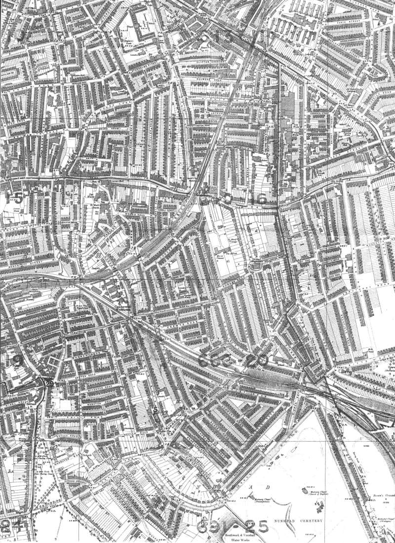
Map of Peckham, Lewisham, 1894

This map shows Peckham's mature suburban landscape with a full set of homes, schools, churchyards, institutions and transport links.
Notice the uniformity of house size covering most of the area shown here.
Click on the map above for an enlarged image or click here for a larger, readable image (slow download).
Stanford Ordnance Survey, printed in 1894.


