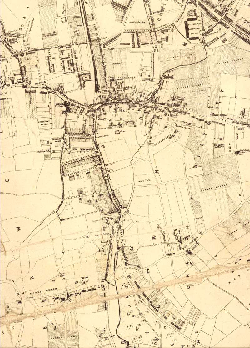
Map of Peckham, Lewisham, 1842

This section of the Dewhirst map of the parish of St Giles, Camberwell, shows the first stage of transition of the area from a rural village to a London suburb.
Ribbon development has taken place along the Old Kent Road (top right), Hill Street, the High Street and Rye Lane.
Prime plots facing south-west looking over Peckham Rye have also been developed.
Click on the map above for an enlarged image or click here for a larger, readable image (slow download).
Map of the parish of St.Giles, Camberwell, delineating its ecclesiastical and parochial details. Drawn by J Dewhirst, surveyor, and published by W Wheeler, 1842


