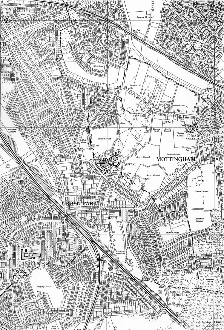
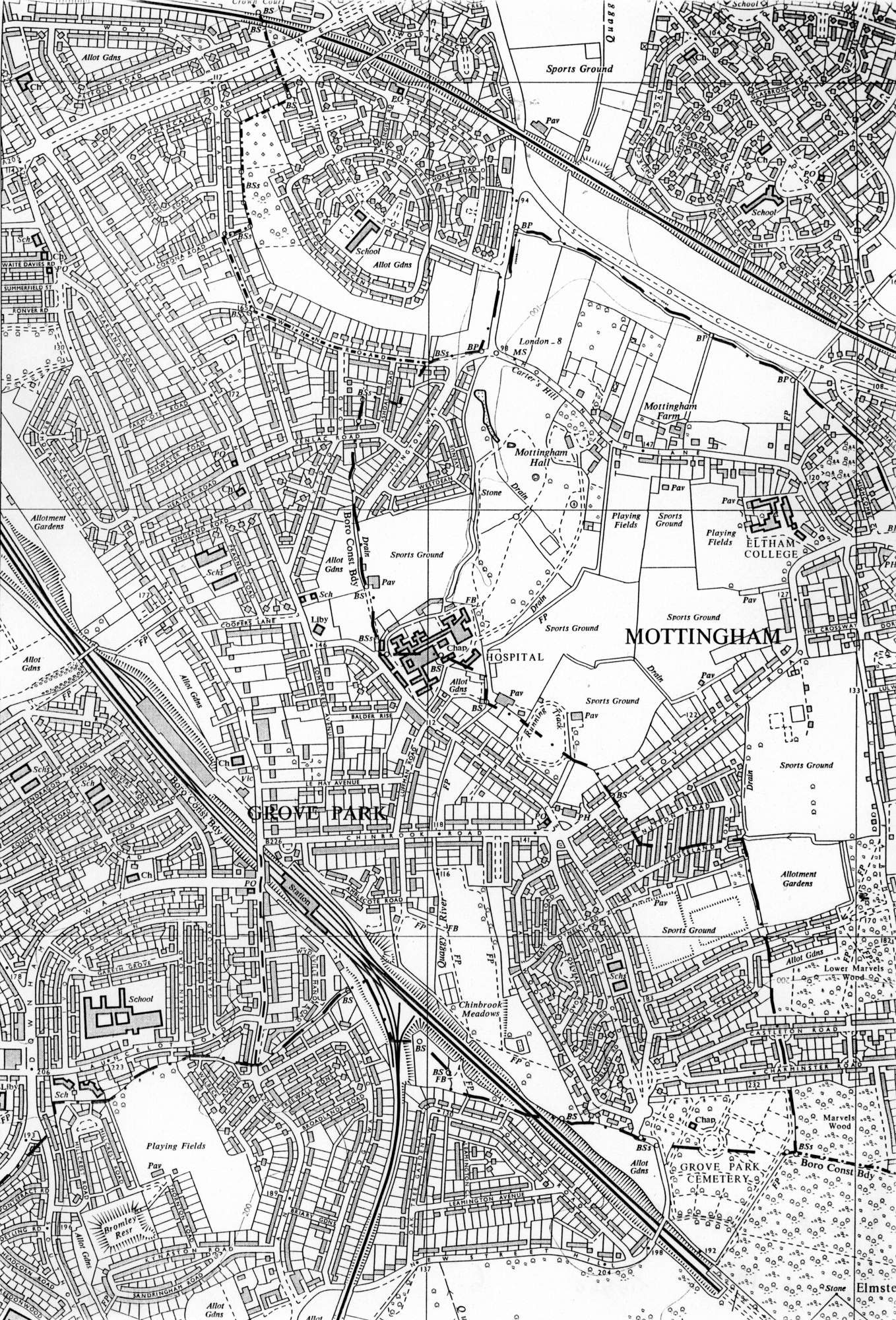
Map of Grove Park, c. 1950
Lewisham Council's principal housing effort
in the wake of the First World War was made at Grove Park, on farmland west of Marvels
Lane.
The Grove Park Estate, as it was
called, was built between 1926 and 1929, and the London County Council's huge Downham
Estate, to the east of Baring Road, was built at
the same time.
These were decisive changes to the
social complexion of the area.
By 1950 bomb damage had combined with falling demand, and the large houses of the 1870s and 1880s were disappearing.
Click on the map for an enlarged image or click here for a larger, readable image (slow download).
Ordnance Survey c.1950.


