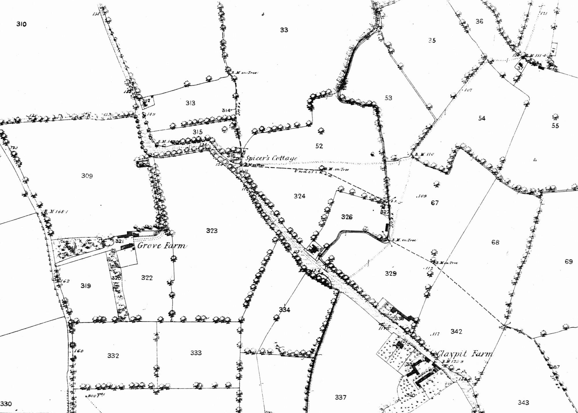
Map of Grove Park, 1863

Until the 1870s the Grove Park area did
not even have a name.
It was the extreme rural south of
Lee, an area of ancient woodland gradually
cleared of trees over centuries, largely by
the charcoal burners who gave their name to Burnt Ash Road and Hill.
In 1863 the fields were divided between Grove Farm, east of what is now Baring Road, and Claypit Farm in what is now Marvels Lane. The only other buildings were a few labourers' cottages.
Click on the map for an enlarged image or click here for a larger, readable image (slower download).
Ordnance Survey 1863.


