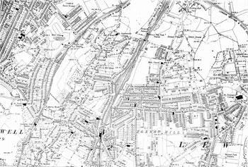
Map of Forest Hill in the 1890s
By 1894 the street naming was settling down to something close to its modern form, and the last pockets of farmland were being covered by Stondon Park and its offshoots in the north, and by the Leathersellers' estate between Stanstead Road and Woolstone Road in the south.
Click on the map for an enlarged image or click here for a larger, readable image (slower download).
Ordnance Survey 1893 - 1894.


