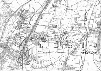
Map of Forest Hill in the 1860s
By the 1860s Forest Hill had achieved
something of its modern form, with the
enclosure of the common in 1810 and the opening
of the station in 1839. Much of the land
west of the railway , however, was still
agricultural.
Street naming was very tentative. Devonshire Road and Rockbourne Road are both called 'New Road', and half the other names on the map have changed at least once since this map was published.
Click on the map above for an enlarged image or click here for a larger, readable image (slow download).
Ordnance Survey 1863.


