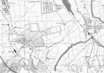
Map of the Downham Area, 1904
It would not be correct to call this
Downham in 1904, as the name was invented
for the new estate, which had not even been
thought of at this time.
Until 1914 the area later covered by the estate was occupied by the fields between Southend and Grove Park, mostly attached to Shroffold and Holloway Farms.
Click on the map above for an enlarged image or click here for a larger, readable image (slower download).
G. W. Bacon, Borough of Lewisham map, 1904.


