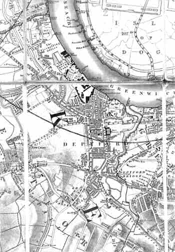
Map of Deptford, 1833
Two centuries had transformed Deptford
from a fishing village into an industrial
town, still separated from London by the marshy
land towards Rotherhithe and Bermondsey.
In Deptford itself the areas west of the High Street and south of New Cross Road
were still mainly agricultural.
The town had reached its highest point of prosperity during the Napoleonic Wars, but was now facing a serious slump, with the mothballing of the Royal Dockyard (the main employer) and the closure of several private yards.
Click on the map above for an
enlarged image or click here for a larger, readable
image (slow download).
George Crutchley, 1833.


