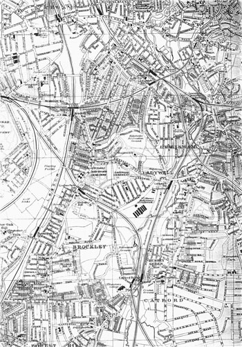
Map of Brockley, 1917
The development of the two parts of Brockley was continuous and nearly complete by 1917.
Only the anomolous survival of Brockley Hall and its home farm, a country estate preserved until the death of an aged owner in the early 1930s, stood between Brockley and its ultimate suburban destiny.
Click on the map for an enlarged image or click here for a larger, readable image (slower
download).
Kelly's Directories Ltd., 1917.


