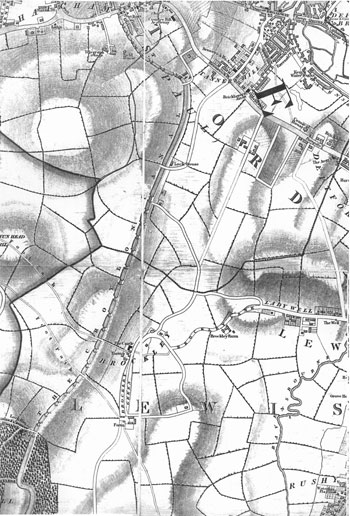
Map of Brockley, 1833
The original village of Brockley was
part of the old Lewisham parish now known as Crofton Park.
It is seen south-west of Ladywell on this map, clustered around the Brockley
Jack pub, which was then known as the Castle.
To the north the present Brockley,
in the old Deptford parish, was still an
area of fields in 1833, with a few scattered farms and a lock-keeper's cottage on the
Croydon Canal.
Click on the map for an enlarged image or click here for a larger, readable image (slower download).
George Cruchley, 1833.


