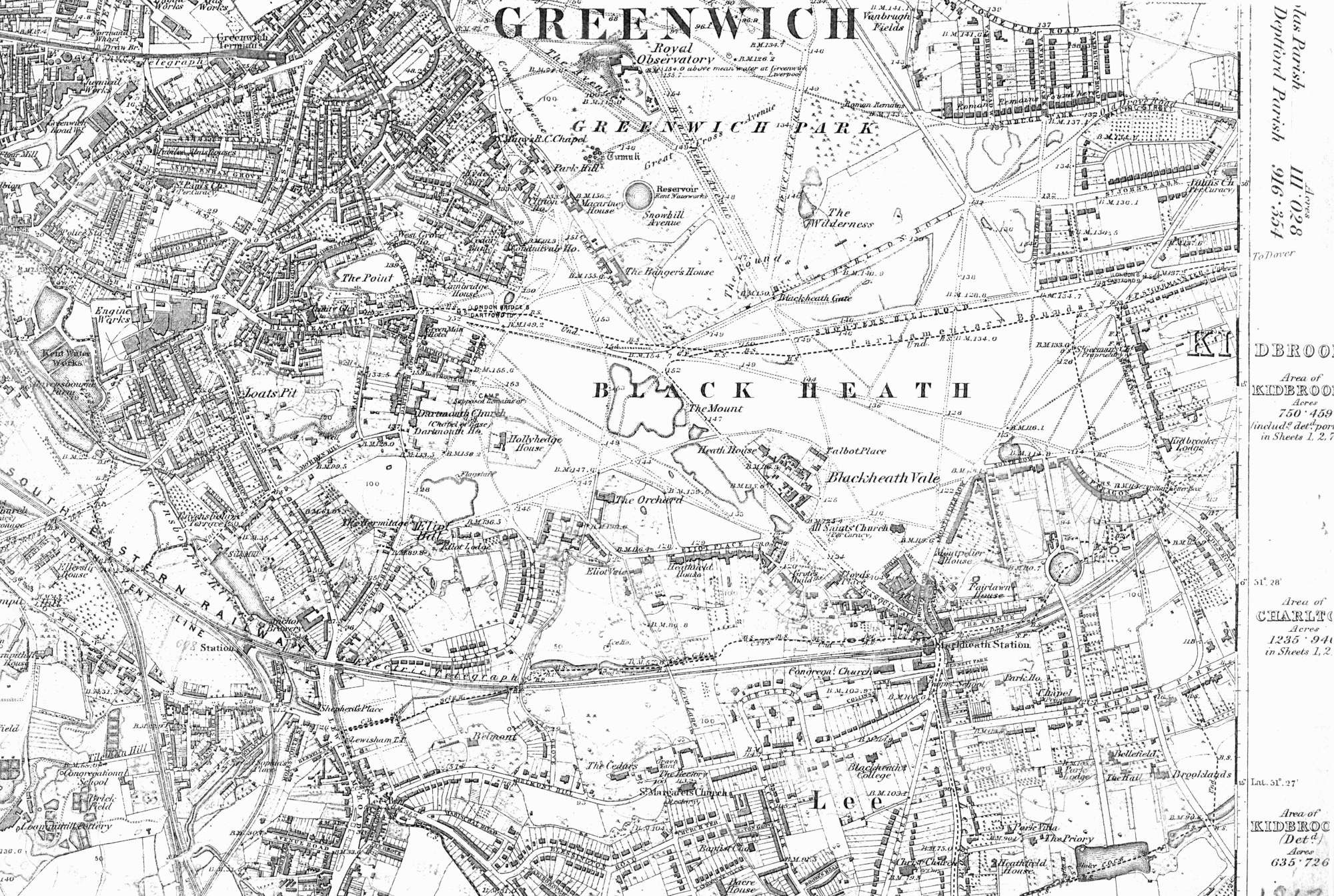
Map of Blackheath in the 1860s
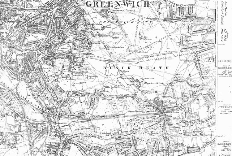
The development of Blackheath as a smart middle class suburb was far advanced by the 1860s.
Building was still in progress only
in the St John's Park and Kidbrooke areas
in the north-eastern corner of this map,
and around Granville Park and Lewisham Hill in
the south-west.
Click on the map for an
enlarged image or click here for a larger, readable
image (slow download).
Ordnance Survey 1863 - 1867.


