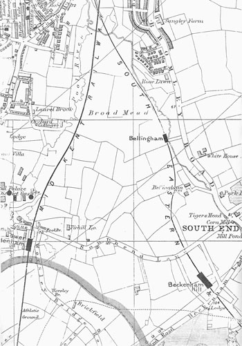
Map of Bellingham, 1904
Until the end of the First World War the
area was occupied by the fields of Bellingham Farm and the gardens of two large houses
in Southend Lane.
The land taken for the original
London County Council estate of the early 1920s is defined by the irregular triangle of
Southend Lane and the two railway lines.
Click on the map for an enlarged image or click here for a larger, readable image (slower download).
G. W. Bacon, Borough of Lewisham map, 1904.


