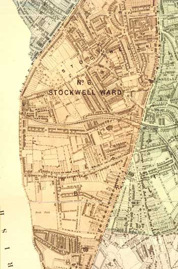
Stockwell Ward, Lambeth, 1876
Map of the Stockwell ward covering central Brixton west of Brixton Road.
The new railway lines of the London Chatham and Dover line and the South London Line linking Victoria and London Bridge are shown.
The west and south of this area is characterised by large houses and gardens, with fields between Ferndale Road and Acre Lane and a large brick field in the south.
St Matthew's church, built in 1824, provided a focal point for the new suburb of Brixton.
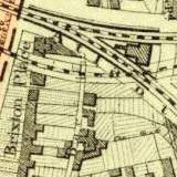
The map also shows Brixton Place which was protected by the Rush Common Act of 1806 and was not developed until the repeal of the act in 1924, amid much local opposition.
Click on the map for an enlarged image or click here for a larger, readable image (slower download).
Extract from the 'Plan of The Parish of Lambeth, showing its Divisions into Wards and Ecclesiastical Districts', surveyor Hugh McIntosh, 1876.


