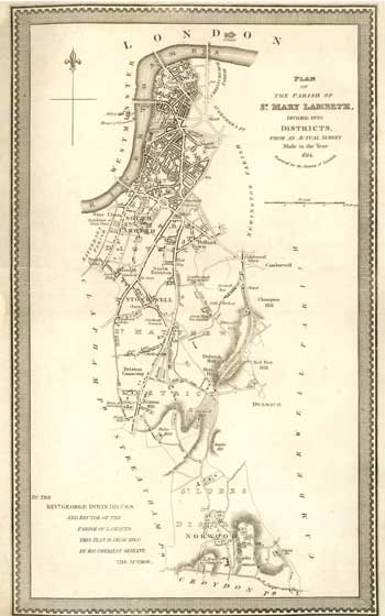
Parish Map of St Mary's, Lambeth, 1824
Plan of the Parish of St. Mary Lambeth from a survey made in 1824. It is shown here divided into four districts centred on the churches of St John's Waterloo, St Mark's at the Oval, St Matthew's in Brixton, St Luke's at Norwood and St Mary's just outside Lambeth Palace.
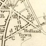
The map also shows Holland Town in north Brixton, near the Oval, which was named after Henry Vassal, third Baron Holland of Foxley who developed this area. The name has been lost but Vassal and Foxley Roads still exist.
Click on the map for an enlarged image or click here for a larger, readable image (slower download).
Engraving published by J. Allen, Princes Road, Kennington.


