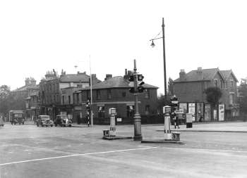
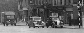
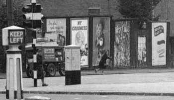
Knights Hill, West Norwood, 1946
The cross-roads at Knights Hill with Crown Lane on the right.
The view seen here was completely changed during the early 1950s when all these buildings were swept away to make space for the Holderness Housing Estate.
A Reader Comments:
The road on the right is actually Crown Dale, not Crown Lane, which is out of sight to the left.
We moved away when I was eight years old in 1951 and my only memory of the stretch from Furneaux Avenue towards Crown Point, the present site of the Hold-erness estate, is of derelict land with a lot of rubble, extending at least to the position of the further buildings in the picture.
It feels odd that I can't remember them all and I wonder whether perhaps the picture is earlier than 1946 and some of the buildings had already been bombed flat when the demolition for Holderness began.
John Bourne
Ewell, Surrey


