Map of Shooter's Hill, 1746
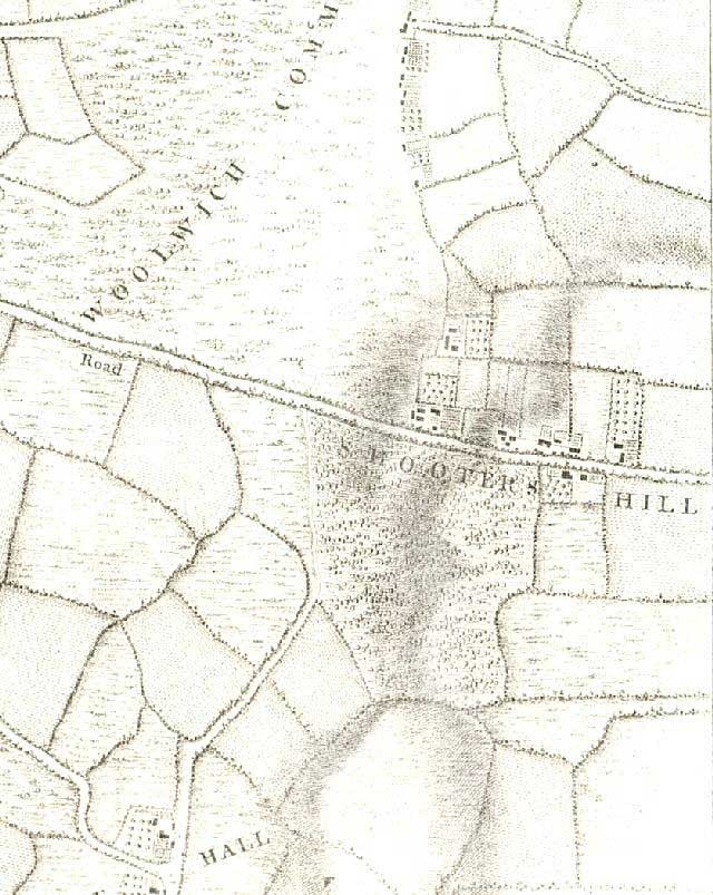
In the mid 18th century little development had taken place on Shooter's Hill - a place of dread for most travellers with its high level of highway crime.
The main road from London to Dover passed over the summit of the hill following the line of the famous Roman road Watling Street.
Because it is the highest point in the area its elevation, healthy air, and mineral springs began to attract development. However, the proposal to build a spa town in the 1760s never took place.
Click on the map for an enlarged image or click here for a larger, readable image (slower download).
Engraved by Richard Parr, surveyed and published by John Rocque, 1746.


