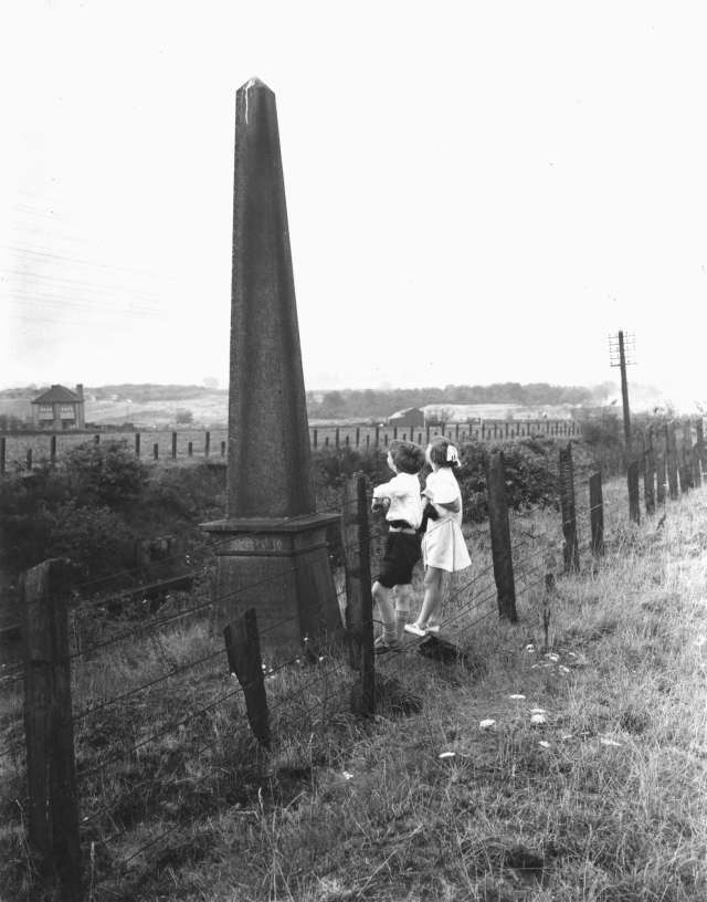
City of London Coal Duty Boundary Mark, Cray Valley, 1938
There are many ways of defining the boundary of London. One of these is by means of Coal Posts.
Erected in the 19th Century, they marked the point beyond which duty had to be paid on transported coal.
Dating from medieval times, the collection of the duty was formalised between 1840 and 1861, when the boundary of the Metropolitan Police District was chosen as the line.
No. 206 in the official lists, is one of the larger type 4 posts that were erected by the side of railways where a larger marker, that the standard small white iron variety was thought to be more appropriate.
The duty was abolished in 1889 on the creation of the London County Council.
Post 206 just outside Swanley station still marks the boundary between London and Kent.
Suburbanisation never reached this far, Marwood House, the lonely looking building in the background, newly erected in this view, remains surrounded by fields.
More information about Coal Posts can be found at, http://www.coaldutyposts.org.uk/
Copyright: Topham Picture Source.


