Northumberland Heath 1897
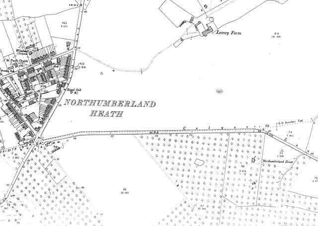
Northumberland Heath was a small village standing on the Bexley Road, on the southern boundary of the newly created Urban District of Erith.
Three main streets of terraced houses form a triangle.
To the north there appears a disused windmill and the proposed site for St Paul's Church.
To the east stands the Royal Oak Public House.
On the other side of Bexley Road from the inn lies Lesney Farm. South of Colyer's Lane the land is given over to forestry.
1:2500 OS map, published by the Ordnance Survey Office, Southampton, 1897.


