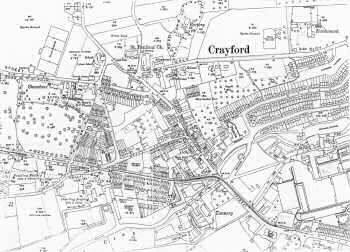
Crayford 1933
This map shows the dramatic growth in the population of Crayford as a result of the First World War and the consequent expansion of the arms industry.
Open fields have given way to houses for the workforce.
The Town Hall attests to its newly created Urban District Council.
There are tramways running up towards London and a theatre on Crayford Way.
1:2500 OS map, published by the Ordnance Survey Office, Southampton, 1933.


