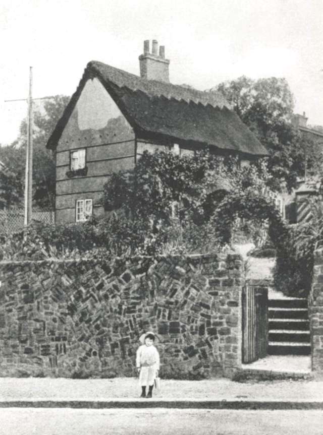
Picardy Cottage, Belvedere, c. 1906
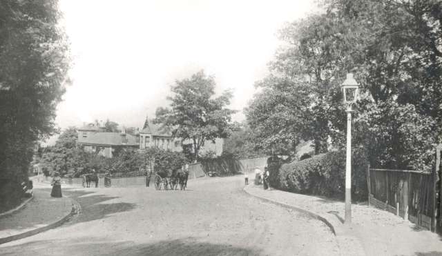
The first photograph is a view looking northwards down Picardy Road towards Lower Belvedere and the River Thames.
Houses built in this area in the late nineteenth and early twentieth century were large and detached.
Freemantle Road runs off to the right.
Until the adoption of the name Belvedere in the middle of the 19th century the area was known as Picardy.
The second photograph (1906) is Picardy Cottage which stood opposite the Chequer's Public House.

